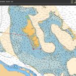
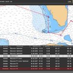
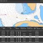
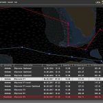
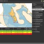
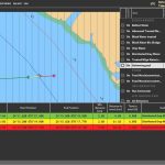
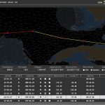
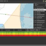
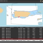
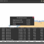
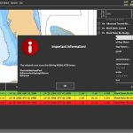
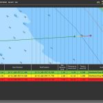
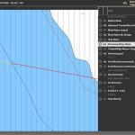
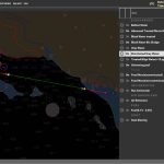
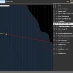
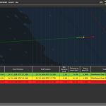
Ship navigation system and EAO management
Using NMEA protocol for GPS navigation via RS 232 on board.
Automatically calculate the planning process and status lines over ship route using WGS 84. Navigation functionalities.
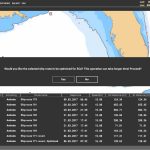
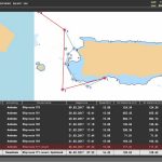
Create and edit ship routes. Export and import ship routes by RT3 ECDIS comparable format.
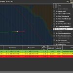
Adding composite routes over planned routes. Database for marine regions:
- MARPOL
- ParticularlySensitiveSeaAreas
- ECA
- gshhg (A Global Self-consistent, Hierarchical, High-resolution Geography Database)
- 200NM Zones
- 12NM Exclusive economic zones
- 24NM Exclusive economic zones
- WorldArchipelagicWaters
- World Exclusive economic zone
- WorldInternalWaters
- Cost lines
- Baselines
- Marine protected areas
- Regulated areas
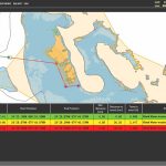
Algorithm for calculating crossed areas from ship route. Automatically create and save information for all the event during the ship voyage.
ENC/S57 Electronic navigational charts using ENCX library. ESRI GIS .NET Library; Shape files
Technology used: .NET 3.5 +/ C# / SQLITE / ENCX

